
Eglwyswrw topographic map
Interactive map
Click on the map to display elevation.
About this map
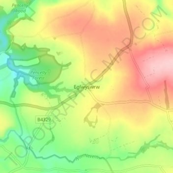
Name: Eglwyswrw topographic map, elevation, terrain.
Location: Eglwyswrw, Pembrokeshire, Wales, SA41 3SN, United Kingdom (51.99394 -4.72884 52.03394 -4.68884)
Average elevation: 140 m
Minimum elevation: 58 m
Maximum elevation: 224 m