
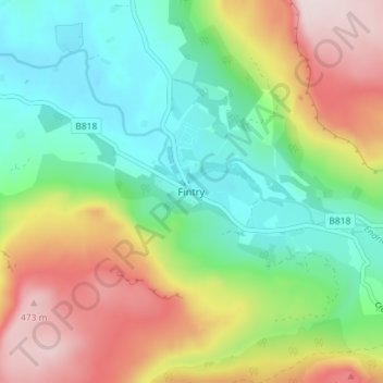
Fintry topographic map
Interactive map
Click on the map to display elevation.
About this map
Name: Fintry topographic map, elevation, terrain.
Location: Fintry, Stirling, Scotland, G63 0XN, United Kingdom (56.03319 -4.24338 56.07319 -4.20338)
Average elevation: 229 m
Minimum elevation: 65 m
Maximum elevation: 494 m