
Ada topographic map
Interactive map
Click on the map to display elevation.
About this map
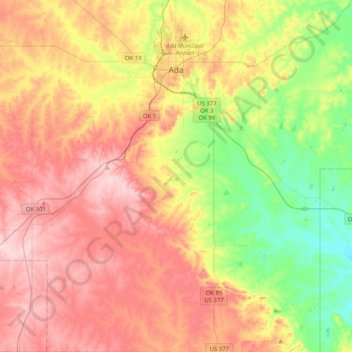
Name: Ada topographic map, elevation, terrain.
Location: Ada, Pontotoc County, Oklahoma, United States (34.50593 -96.75747 34.84011 -96.56378)
Average elevation: 300 m
Minimum elevation: 193 m
Maximum elevation: 407 m