
Patoka topographic map
Interactive map
Click on the map to display elevation.
About this map
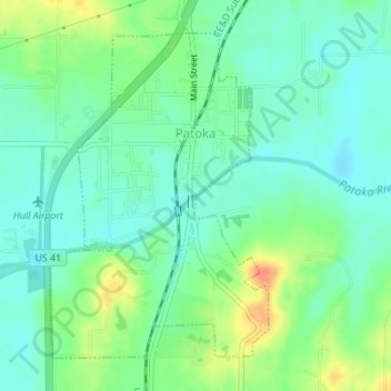
Name: Patoka topographic map, elevation, terrain.
Location: Patoka, Gibson County, Indiana, 47666, United States (38.39143 -87.59852 38.41392 -87.57914)
Average elevation: 134 m
Minimum elevation: 118 m
Maximum elevation: 168 m