
Patoka topographic map
Interactive map
Click on the map to display elevation.
About this map
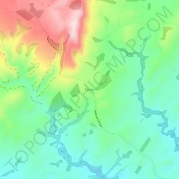
Name: Patoka topographic map, elevation, terrain.
Location: Patoka, Hastings District, Hawke's Bay, New Zealand (-39.36620 176.58374 -39.32620 176.62374)
Average elevation: 388 m
Minimum elevation: 260 m
Maximum elevation: 633 m