
Lincoln topographic map
Interactive map
Click on the map to display elevation.
About this map
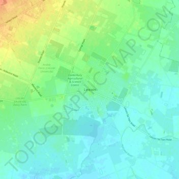
Name: Lincoln topographic map, elevation, terrain.
Location: Lincoln, Selwyn District, Canterbury, 7608, New Zealand (-43.67961 172.44602 -43.59961 172.52602)
Average elevation: 15 m
Minimum elevation: 4 m
Maximum elevation: 41 m
Selwyn District trails, hiking, mountain biking, running and outdoor activities
Other topographic maps
Click on a map to view its topography, its elevation and its terrain.