
Te Teko topographic map
Interactive map
Click on the map to display elevation.
About this map
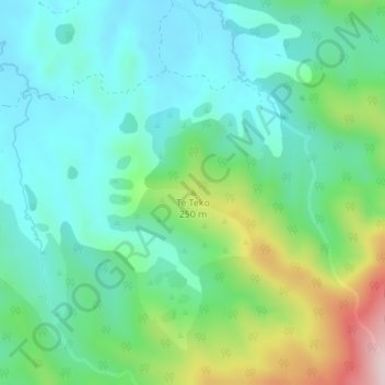
Name: Te Teko topographic map, elevation, terrain.
Location: Te Teko, Whakatāne District, Bay of Plenty, New Zealand (-38.16019 177.13943 -38.16009 177.13953)
Average elevation: 143 m
Minimum elevation: 43 m
Maximum elevation: 418 m
Whakatane District trails, hiking, mountain biking, running and outdoor activities
Other topographic maps
Click on a map to view its topography, its elevation and its terrain.