
West Plains topographic map
Interactive map
Click on the map to display elevation.
About this map
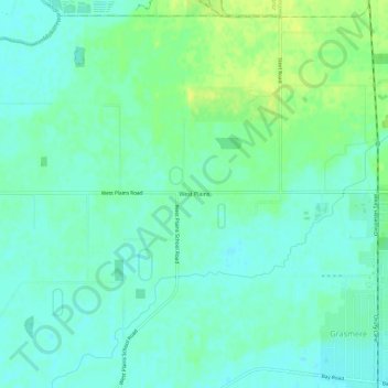
Name: West Plains topographic map, elevation, terrain.
Average elevation: 7 m
Minimum elevation: 0 m
Maximum elevation: 19 m
Other topographic maps
Click on a map to view its topography, its elevation and its terrain.
Myross Bush
New Zealand > Southland > Invercargill City
Myross Bush, Invercargill City, Southland, 9872, New Zealand
Average elevation: 18 m
Kennington
New Zealand > Southland > Invercargill City
Kennington, Invercargill City, Southland, 9872, New Zealand
Average elevation: 22 m