
Mont-Laurier topographic map
Interactive map
Click on the map to display elevation.
About this map
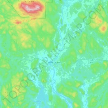
Name: Mont-Laurier topographic map, elevation, terrain.
Location: Mont-Laurier, Antoine-Labelle, Laurentides, Quebec, Canada (46.43809 -75.75153 46.70897 -75.39992)
Average elevation: 296 m
Minimum elevation: 197 m
Maximum elevation: 761 m