
Hatepe topographic map
Interactive map
Click on the map to display elevation.
About this map
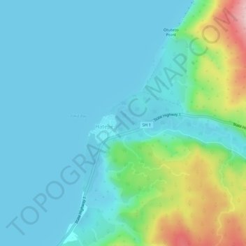
Name: Hatepe topographic map, elevation, terrain.
Location: Hatepe, Taupo District, Waikato, New Zealand (-38.87400 175.99611 -38.83400 176.03611)
Average elevation: 398 m
Minimum elevation: 356 m
Maximum elevation: 575 m
Other topographic maps
Click on a map to view its topography, its elevation and its terrain.
Lake Hinemaiaia
New Zealand > Waikato > Hatepe
Lake Hinemaiaia, Hinemaiaia Access Road, Hatepe, Taupo District, Waikato, New Zealand
Average elevation: 561 m