
Trochu topographic map
Interactive map
Click on the map to display elevation.
About this map
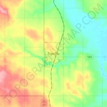
Name: Trochu topographic map, elevation, terrain.
Location: Trochu, Town of Trochu, Alberta, T0M 2C0, Canada (51.78615 -113.26965 51.86615 -113.18965)
Average elevation: 869 m
Minimum elevation: 827 m
Maximum elevation: 929 m