
Stafford topographic map
Interactive map
Click on the map to display elevation.
About this map
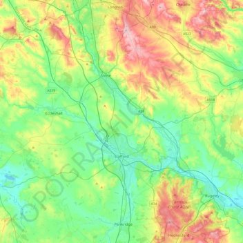
Name: Stafford topographic map, elevation, terrain.
Average elevation: 127 m
Minimum elevation: 63 m
Maximum elevation: 256 m
Other topographic maps
Click on a map to view its topography, its elevation and its terrain.
Great Haywood
United Kingdom > England > Stafford > Great Haywood
Great Haywood, Stafford, Staffordshire, West Midlands, England, ST18 0FY, United Kingdom
Average elevation: 89 m