
Rutherford topographic map
Interactive map
Click on the map to display elevation.
About this map
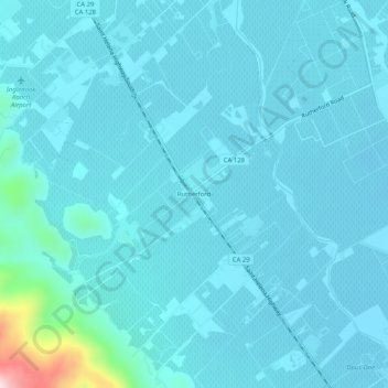
Name: Rutherford topographic map, elevation, terrain.
Location: Rutherford, Napa County, California, 94573, United States (38.43852 -122.44248 38.47852 -122.40248)
Average elevation: 68 m
Minimum elevation: 36 m
Maximum elevation: 419 m