
Mangga topographic map
Interactive map
Click on the map to display elevation.
About this map
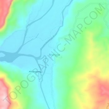
Name: Mangga topographic map, elevation, terrain.
Location: Mangga, Cagayan, Cagayan Valley, Philippines (17.67741 121.84154 17.71741 121.88154)
Average elevation: 147 m
Minimum elevation: 57 m
Maximum elevation: 394 m