
Mount Banahaw and San Cristobal Protected Landscape topographic map
Interactive map
Click on the map to display elevation.
About this map
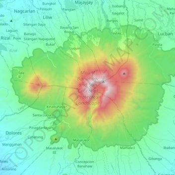
Name: Mount Banahaw and San Cristobal Protected Landscape topographic map, elevation, terrain.
Average elevation: 592 m
Minimum elevation: 102 m
Maximum elevation: 2,142 m