
Tacolneston topographic map
Interactive map
Click on the map to display elevation.
About this map
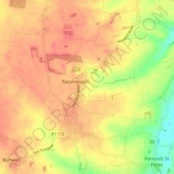
Name: Tacolneston topographic map, elevation, terrain.
Average elevation: 53 m
Minimum elevation: 19 m
Maximum elevation: 70 m
Other topographic maps
Click on a map to view its topography, its elevation and its terrain.
Loddon
United Kingdom > England > Norfolk > South Norfolk > Chedgrave
Loddon, Chedgrave, South Norfolk, Norfolk, England, United Kingdom
Average elevation: 20 m