
Sapang Putol topographic map
Interactive map
Click on the map to display elevation.
About this map
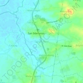
Name: Sapang Putol topographic map, elevation, terrain.
Location: Sapang Putol, Bulacan, Central Luzon, 3010, Philippines (15.05412 120.92253 15.09412 120.96253)
Average elevation: 16 m
Minimum elevation: 8 m
Maximum elevation: 37 m