
Howard County topographic map
Interactive map
Click on the map to display elevation.
About this map
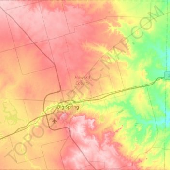
Name: Howard County topographic map, elevation, terrain.
Location: Howard County, Texas, United States (32.08692 -101.69506 32.52516 -101.17449)
Average elevation: 768 m
Minimum elevation: 661 m
Maximum elevation: 866 m