
Archbold topographic map
Interactive map
Click on the map to display elevation.
About this map
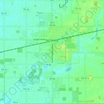
Name: Archbold topographic map, elevation, terrain.
Location: Archbold, Fulton County, Ohio, 43502, USA (41.48571 -84.32579 41.54331 -84.27704)
Average elevation: 222 m
Minimum elevation: 215 m
Maximum elevation: 234 m