
Araria topographic map
Interactive map
Click on the map to display elevation.
About this map
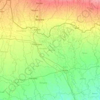
Name: Araria topographic map, elevation, terrain.
Location: Araria, Bihar, India (25.94249 87.03157 26.58731 87.69077)
Average elevation: 61 m
Minimum elevation: 38 m
Maximum elevation: 107 m
Other topographic maps
Click on a map to view its topography, its elevation and its terrain.