
Matakana Island topographic map
Interactive map
Click on the map to display elevation.
About this map
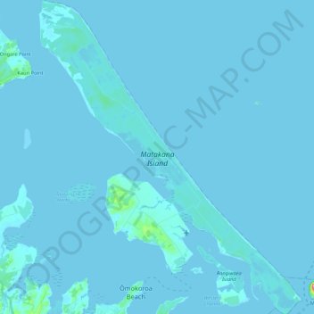
Name: Matakana Island topographic map, elevation, terrain.
Average elevation: 3 m
Minimum elevation: -2 m
Maximum elevation: 207 m
Western Bay of Plenty District trails, hiking, mountain biking, running and outdoor activities