
Meadowbrook topographic map
Interactive map
Click on the map to display elevation.
About this map
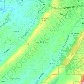
Name: Meadowbrook topographic map, elevation, terrain.
Location: Meadowbrook, Shelby County, Alabama, 35242, United States (33.38205 -86.71665 33.42205 -86.67665)
Average elevation: 192 m
Minimum elevation: 135 m
Maximum elevation: 317 m