
Oakville topographic map
Interactive map
Click on the map to display elevation.
About this map
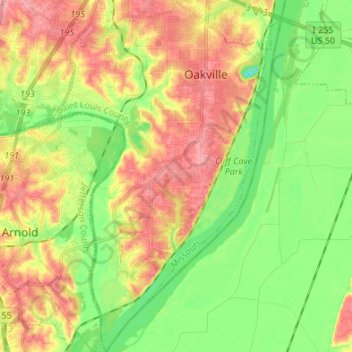
Name: Oakville topographic map, elevation, terrain.
Location: Oakville, Saint Louis County, Missouri, 63129, United States (38.38641 -90.36543 38.49203 -90.27930)
Average elevation: 138 m
Minimum elevation: 92 m
Maximum elevation: 193 m