
Ngakuru topographic map
Interactive map
Click on the map to display elevation.
About this map
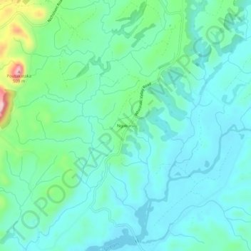
Name: Ngakuru topographic map, elevation, terrain.
Location: Ngakuru, Rotorua, Waikato, 3077, New Zealand (-38.34263 176.17072 -38.30263 176.21072)
Average elevation: 333 m
Minimum elevation: 287 m
Maximum elevation: 507 m