
Makauri topographic map
Interactive map
Click on the map to display elevation.
About this map
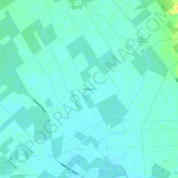
Name: Makauri topographic map, elevation, terrain.
Location: Makauri, Gisborne, 4071, New Zealand (-38.64462 177.93798 -38.60462 177.97798)
Average elevation: 10 m
Minimum elevation: 5 m
Maximum elevation: 29 m
Other topographic maps
Click on a map to view its topography, its elevation and its terrain.
Titirangi
New Zealand > Gisborne > Gisborne
Titirangi, Gisborne, 4020, New Zealand
Average elevation: 19 m