
Gloucester topographic map
Interactive map
Click on the map to display elevation.
About this map
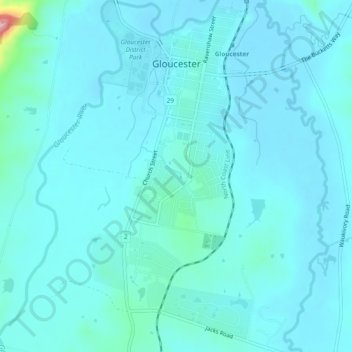
Name: Gloucester topographic map, elevation, terrain.
Location: Gloucester, Mid-Coast Council, New South Wales, Australia (-32.03966 151.94704 -31.99949 151.97005)
Average elevation: 105 m
Minimum elevation: 86 m
Maximum elevation: 278 m