
Jackson topographic map
Interactive map
Click on the map to display elevation.
About this map
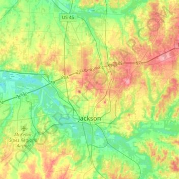
Name: Jackson topographic map, elevation, terrain.
Location: Jackson, Madison County, Tennessee, United States (35.54023 -88.92109 35.75673 -88.75666)
Average elevation: 129 m
Minimum elevation: 92 m
Maximum elevation: 185 m