
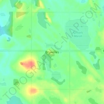
Bruxelles topographic map
Interactive map
Click on the map to display elevation.
About this map
Name: Bruxelles topographic map, elevation, terrain.
Location: Bruxelles, Manitoba, Canada (49.46732 -98.93850 49.50732 -98.89850)
Average elevation: 444 m
Minimum elevation: 428 m
Maximum elevation: 478 m