
Mauke topographic map
Interactive map
Click on the map to display elevation.
About this map
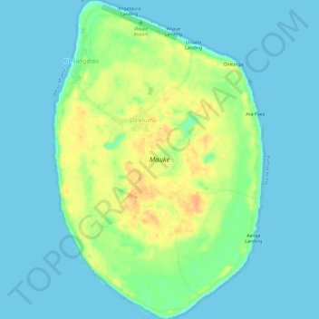
Name: Mauke topographic map, elevation, terrain.
Location: Mauke, Kimiangatau, Mauke, Cook Islands (-20.18894 -157.36100 -20.13259 -157.32151)
Average elevation: 10 m
Minimum elevation: 0 m
Maximum elevation: 35 m