
Fish Creek topographic map
Interactive map
Click on the map to display elevation.
About this map
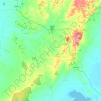
Name: Fish Creek topographic map, elevation, terrain.
Location: Fish Creek, Shire of South Gippsland, Victoria, Australia (-38.80405 145.98344 -38.64947 146.15459)
Average elevation: 74 m
Minimum elevation: -1 m
Maximum elevation: 287 m