
Bryant Pond topographic map
Interactive map
Click on the map to display elevation.
About this map
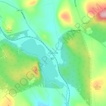
Name: Bryant Pond topographic map, elevation, terrain.
Location: Bryant Pond, Oxford County, Maine, 04255, USA (44.35840 -70.66590 44.39840 -70.62590)
Average elevation: 270 m
Minimum elevation: 189 m
Maximum elevation: 435 m