
Almendral topographic map
Interactive map
Click on the map to display elevation.
About this map
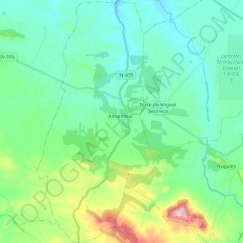
Name: Almendral topographic map, elevation, terrain.
Location: Almendral, Llanos de Olivenza, Badajoz, Extremadura, Spain (38.54479 -6.88013 38.67587 -6.79874)
Average elevation: 361 m
Minimum elevation: 255 m
Maximum elevation: 740 m