
南阳街道 topographic map
Interactive map
Click on the map to display elevation.
About this map
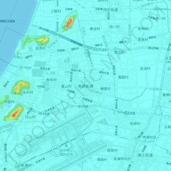
Name: 南阳街道 topographic map, elevation, terrain.
Location: 南阳街道, Xiaoshan District, Hangzhou City, Zhejiang, PRC (30.22473 120.39948 30.30473 120.47948)
Average elevation: 8 m
Minimum elevation: 0 m
Maximum elevation: 119 m