
Mayrhofen topographic map
Interactive map
Click on the map to display elevation.
About this map
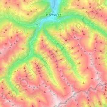
Name: Mayrhofen topographic map, elevation, terrain.
Location: Mayrhofen, Schwaz, Tyrol, Austria (47.01008 11.74944 47.19204 11.98050)
Average elevation: 1,983 m
Minimum elevation: 598 m
Maximum elevation: 3,345 m