
Lumle topographic map
Interactive map
Click on the map to display elevation.
About this map
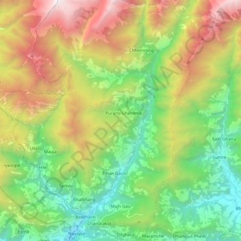
Name: Lumle topographic map, elevation, terrain.
Location: Lumle, Kaski, Gandaki, Western Development Region, Nepal (28.29313 83.76461 28.45868 83.87634)
Average elevation: 2,235 m
Minimum elevation: 982 m
Maximum elevation: 4,390 m