
Pentonville topographic map
Interactive map
Click on the map to display elevation.
About this map
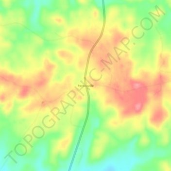
Name: Pentonville topographic map, elevation, terrain.
Location: Pentonville, Coosa County, Alabama, 35026, USA (32.79568 -86.24775 32.83568 -86.20775)
Average elevation: 182 m
Minimum elevation: 135 m
Maximum elevation: 224 m