
Lawnton topographic map
Interactive map
Click on the map to display elevation.
About this map
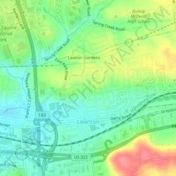
Name: Lawnton topographic map, elevation, terrain.
Location: Lawnton, Dauphin County, Pennsylvania, 17111, USA (40.25472 -76.81390 40.27248 -76.77809)
Average elevation: 140 m
Minimum elevation: 110 m
Maximum elevation: 192 m