Sous le Mont topographic map
Interactive map
Click on the map to display elevation.
About this map
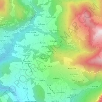
Name: Sous le Mont topographic map, elevation, terrain.
Average elevation: 1,025 m
Minimum elevation: 682 m
Maximum elevation: 1,652 m

Click on the map to display elevation.
Name: Sous le Mont topographic map, elevation, terrain.
Average elevation: 1,025 m
Minimum elevation: 682 m
Maximum elevation: 1,652 m