
Ghanzi District topographic map
Interactive map
Click on the map to display elevation.
About this map
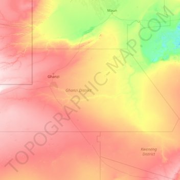
Name: Ghanzi District topographic map, elevation, terrain.
Location: Ghanzi District, Botswana (-23.32233 19.99909 -20.99542 25.44662)
Average elevation: 1,071 m
Minimum elevation: 902 m
Maximum elevation: 1,391 m