
Georgetown topographic map
Interactive map
Click on the map to display elevation.
About this map
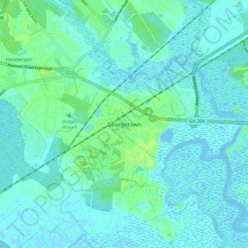
Name: Georgetown topographic map, elevation, terrain.
Location: Georgetown, Chatham County, Georgia, 31416, USA (31.94326 -81.26733 32.02326 -81.18733)
Average elevation: 4 m
Minimum elevation: -4 m
Maximum elevation: 14 m