
Pontypool topographic map
Interactive map
Click on the map to display elevation.
About this map
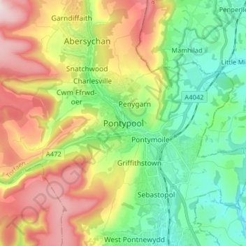
Name: Pontypool topographic map, elevation, terrain.
Location: Pontypool, Torfaen, Wales, NP4, United Kingdom (51.66266 -3.07275 51.74266 -2.99275)
Average elevation: 210 m
Minimum elevation: 35 m
Maximum elevation: 488 m