
Lakeview topographic map
Interactive map
Click on the map to display elevation.
About this map
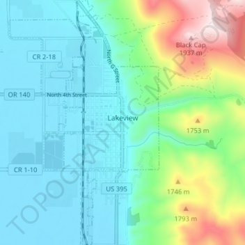
Name: Lakeview topographic map, elevation, terrain.
Location: Lakeview, Lake County, Oregon, 97630, USA (42.17823 -120.36722 42.20060 -120.33643)
Average elevation: 1,523 m
Minimum elevation: 1,440 m
Maximum elevation: 1,879 m