
Garder topographic map
Interactive map
Click on the map to display elevation.
About this map
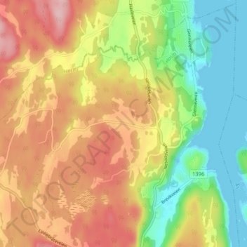
Name: Garder topographic map, elevation, terrain.
Location: Garder, Frogn, Akershus, 1455, Norway (59.73970 10.66671 59.77970 10.70671)
Average elevation: 83 m
Minimum elevation: 0 m
Maximum elevation: 170 m