
Bellenberg topographic map
Interactive map
Click on the map to display elevation.
About this map
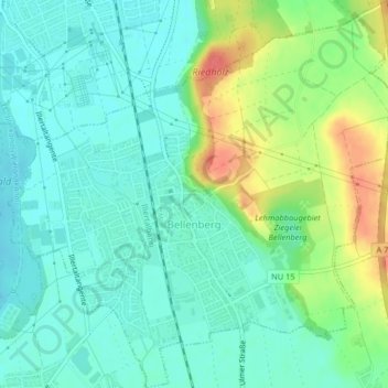
Name: Bellenberg topographic map, elevation, terrain.
Location: Bellenberg, Landkreis Neu-Ulm, Swabia, Bavaria, 89287, Germany (48.24473 10.07430 48.27195 10.11490)
Average elevation: 514 m
Minimum elevation: 496 m
Maximum elevation: 554 m