
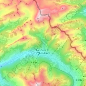
La Chapelle-d'Abondance topographic map
Interactive map
Click on the map to display elevation.
About this map
Name: La Chapelle-d'Abondance topographic map, elevation, terrain.
Average elevation: 1,525 m
Minimum elevation: 925 m
Maximum elevation: 2,411 m