
Pontypridd topographic map
Interactive map
Click on the map to display elevation.
About this map
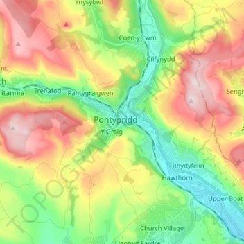
Name: Pontypridd topographic map, elevation, terrain.
Location: Pontypridd, Rhondda Cynon Taf, Wales, CF, United Kingdom (51.55928 -3.38164 51.63928 -3.30164)
Average elevation: 184 m
Minimum elevation: 36 m
Maximum elevation: 380 m