
Cooper Island topographic map
Interactive map
Click on the map to display elevation.
About this map
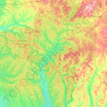
Name: Cooper Island topographic map, elevation, terrain.
Location: Cooper Island, Bibb County, Alabama, USA (32.55724 -87.49415 33.19724 -86.85415)
Average elevation: 114 m
Minimum elevation: 35 m
Maximum elevation: 255 m
Other topographic maps
Click on a map to view its topography, its elevation and its terrain.
Pentonville
USA > Alabama > Pentonville
Pentonville, Coosa County, Alabama, 35026, USA
Average elevation: 182 m
Brightwater
USA > Alabama > Brightwater
Brightwater, Choctaw County, Alabama, 36915, USA
Average elevation: 73 m