
College Park topographic map
Interactive map
Click on the map to display elevation.
About this map
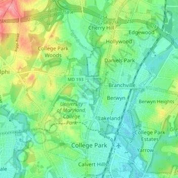
Name: College Park topographic map, elevation, terrain.
Location: College Park, Prince George's County, Maryland, USA (38.97111 -76.96535 39.02556 -76.90911)
Average elevation: 38 m
Minimum elevation: 10 m
Maximum elevation: 100 m