
Holarua topographic map
Interactive map
Click on the map to display elevation.
About this map
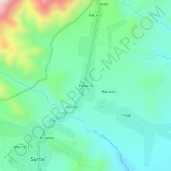
Name: Holarua topographic map, elevation, terrain.
Location: Holarua, Manufahi, East Timor (-9.00654 125.63921 -8.96654 125.67921)
Average elevation: 530 m
Minimum elevation: 335 m
Maximum elevation: 1,130 m