
Mahangaiti Lake topographic map
Interactive map
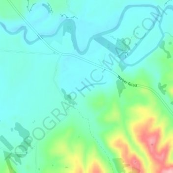
Click on the map to display elevation.
About this map
Name: Mahangaiti Lake topographic map, elevation, terrain.
Average elevation: 184 m
Minimum elevation: 150 m
Maximum elevation: 296 m
Other topographic maps
Click on a map to view its topography, its elevation and its terrain.
Tamaki River
Tamaki River, Dannevirke, Tararua District, Manawatu-Whanganui, 4930, New Zealand
Average elevation: 269 m